Verified Views by Eye-kon
Architect-led. Technically rigorous. Planning-ready.
Eye-kon is a London-based consultancy specialising in Accurate Visual Representations (AVRs) for complex and sensitive planning applications.
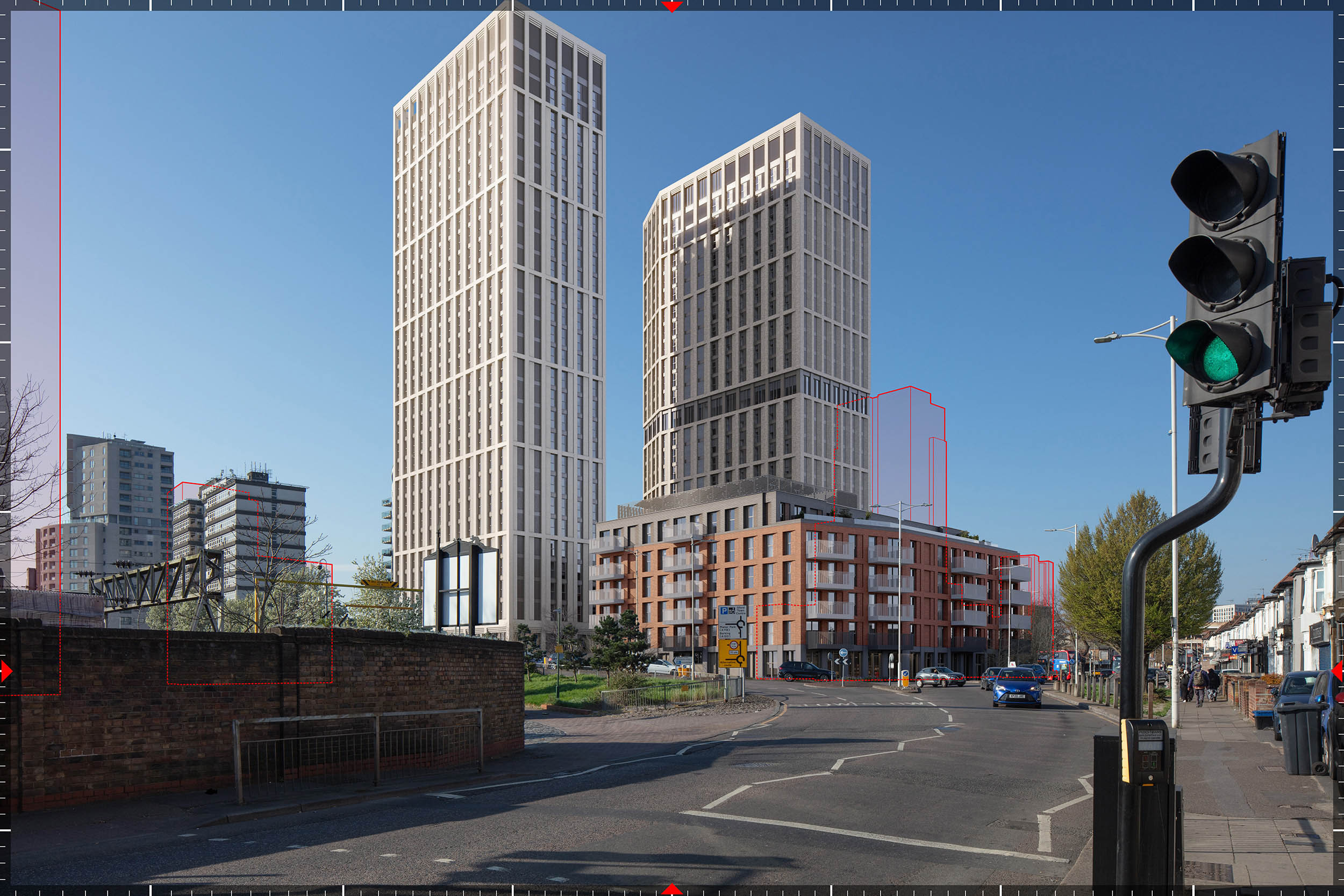
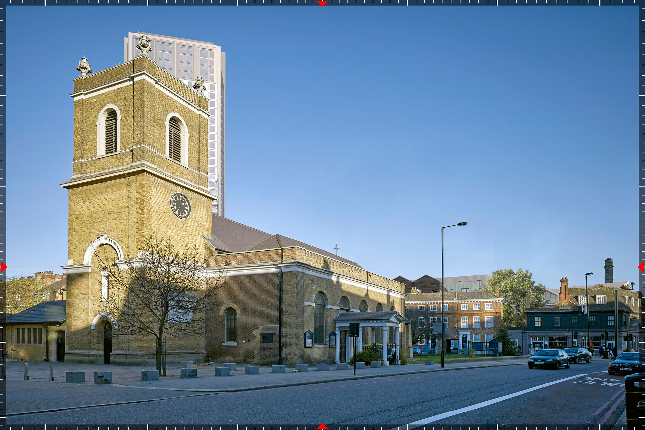
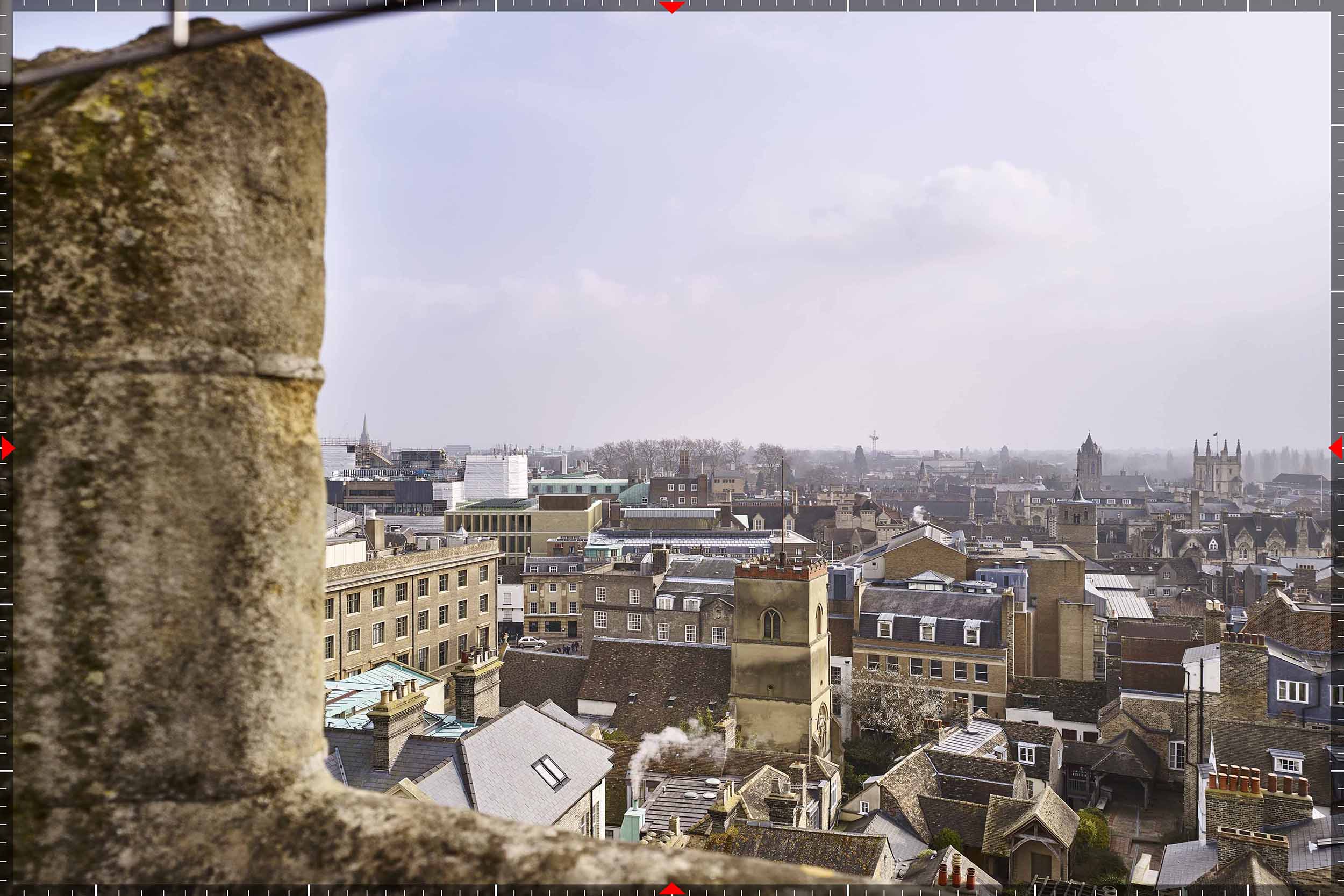
We produce fully compliant Verified View Montages (VVMs) in accordance with the London View Management Framework (LVMF) and Landscape Institute Technical Guidance (TGN 06/19) - delivering the technical precision required to withstand planning, heritage and committee scrutiny.
Working nationwide, we support Townscape (TVIA), Landscape (LVIA) and Heritage Impact Assessments (HIA) for developers, architects and planning consultants.
Get in touch for a clear, straightforward discussion about your project, planning requirements and programme.


Collaborating with Leading Planning & Design Teams

Talk to us about your project
If you are preparing a planning application, a LVIA, TVIA or HIA, or require technically robust Verified Views (AVRs), we would be pleased to assist.
Get in touch for a clear, straightforward discussion about your project, planning requirements and programme.
Email: info@eye-kon.com
Phone: +44 (0)20 3916 6067

Marc Sawan
Founder, Eye-kon
Architect and Visual Representation specialist with over 20 years’ experience delivering planning-compliant imagery.
The Technical Standards Behind Our Work

Architect-led Precision
Our work is led by qualified architects with over 20 years’ experience producing Accurate Visual Representations. We understand design intent as well as technical compliance, ensuring every view is both architecturally accurate and technically robust.
Full LPA and LVMF Compliance
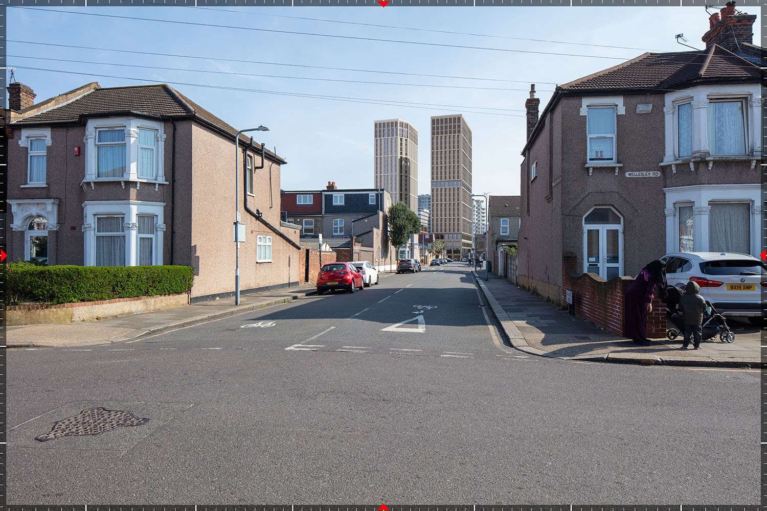
All verified views are produced in strict accordance with the London View Management Framework (LVMF) and Landscape Institute Technical Guidance (TGN 06/19). We deliver planning-ready visuals designed to withstand officer and committee scrutiny.

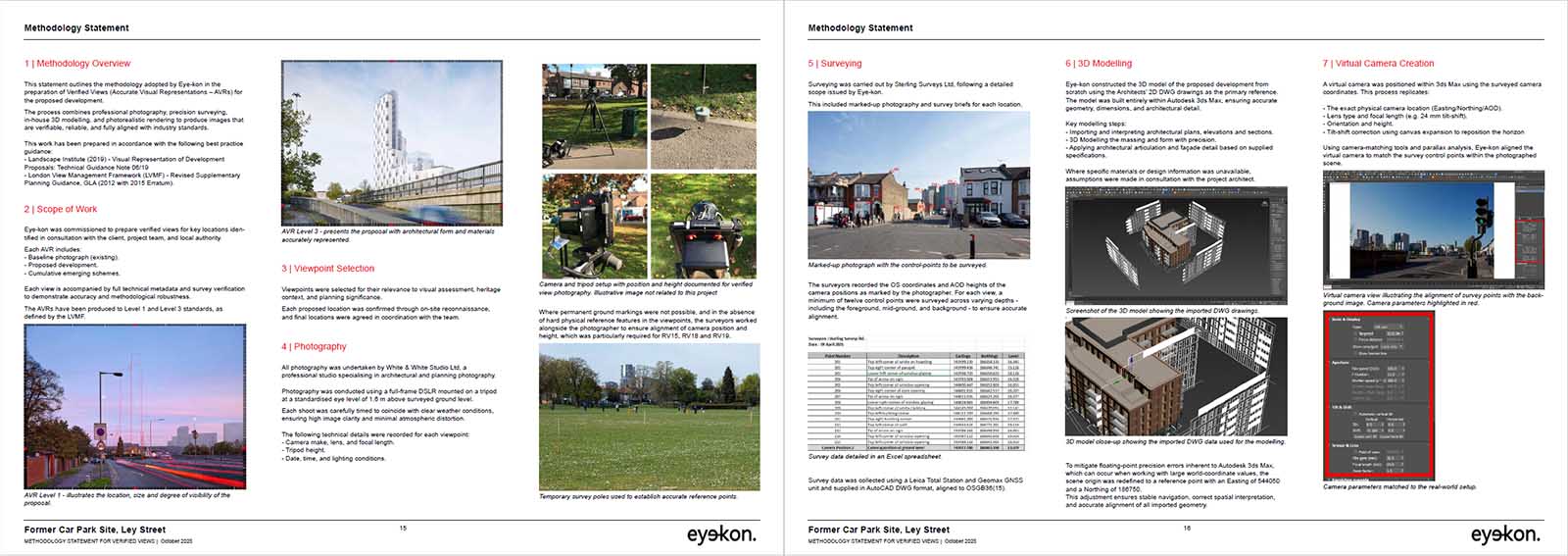
Survey-integrated Accuracy
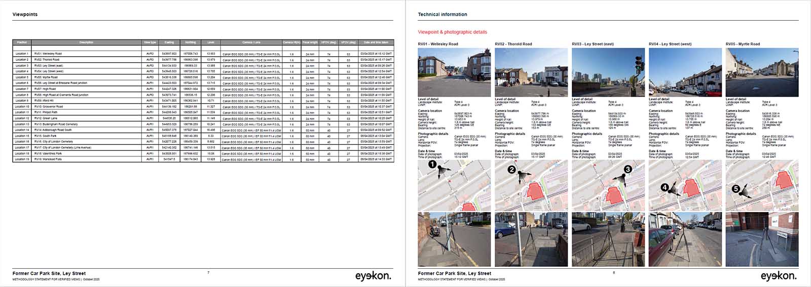
We align 3D models to GPS-synchronised survey data, ensuring precise correspondence between model and photography. Every camera position, lens specification and coordinate is recorded and fully traceable.

Transparent, Auditable Methodology
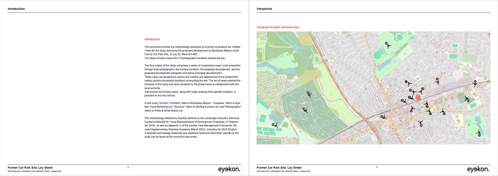
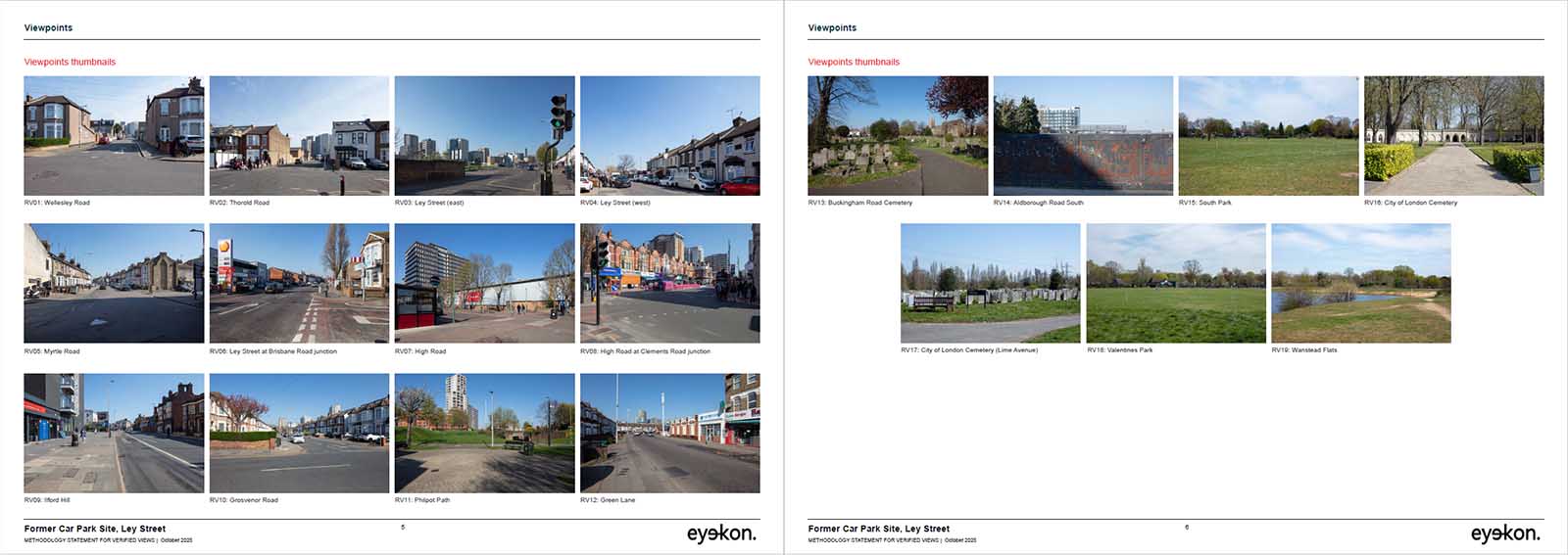
Each commission is supported by a clear and comprehensive methodology report documenting camera locations, surveyed control points and technical parameters for Local Planning Authority review.

Proven Performance on Sensitive Sites
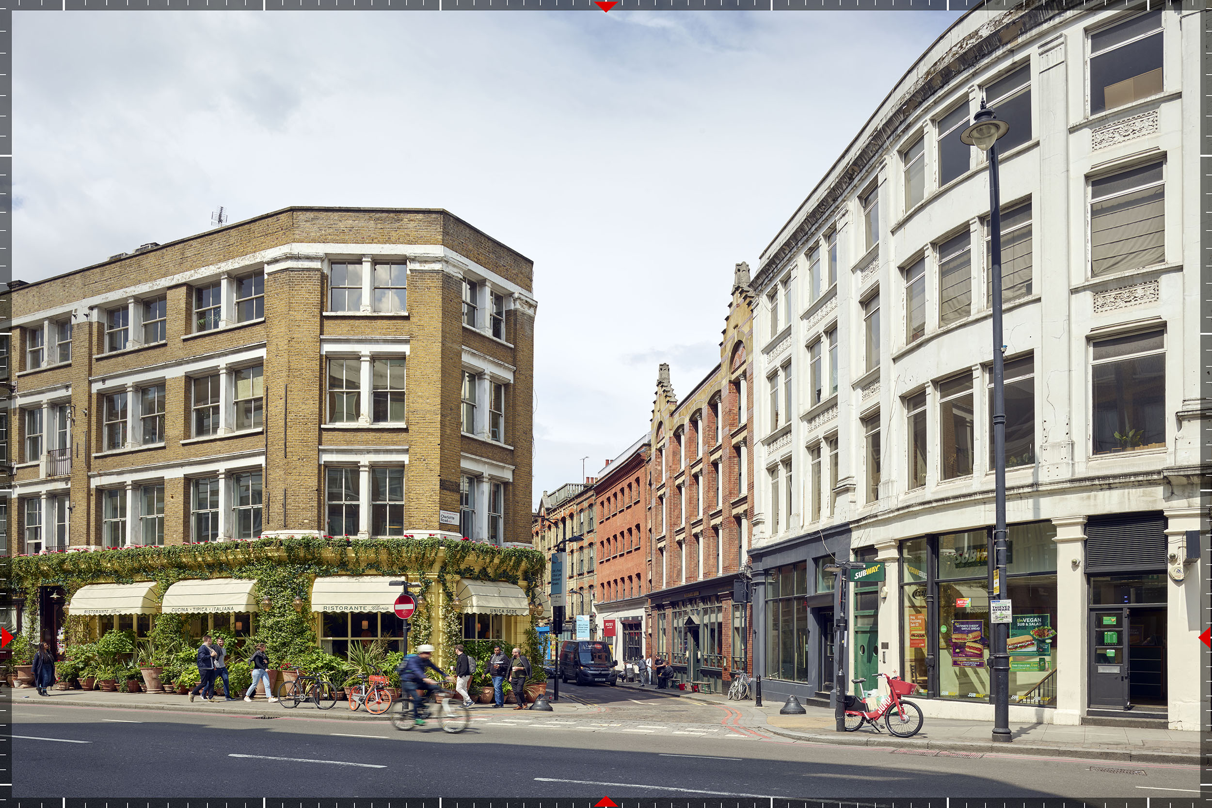
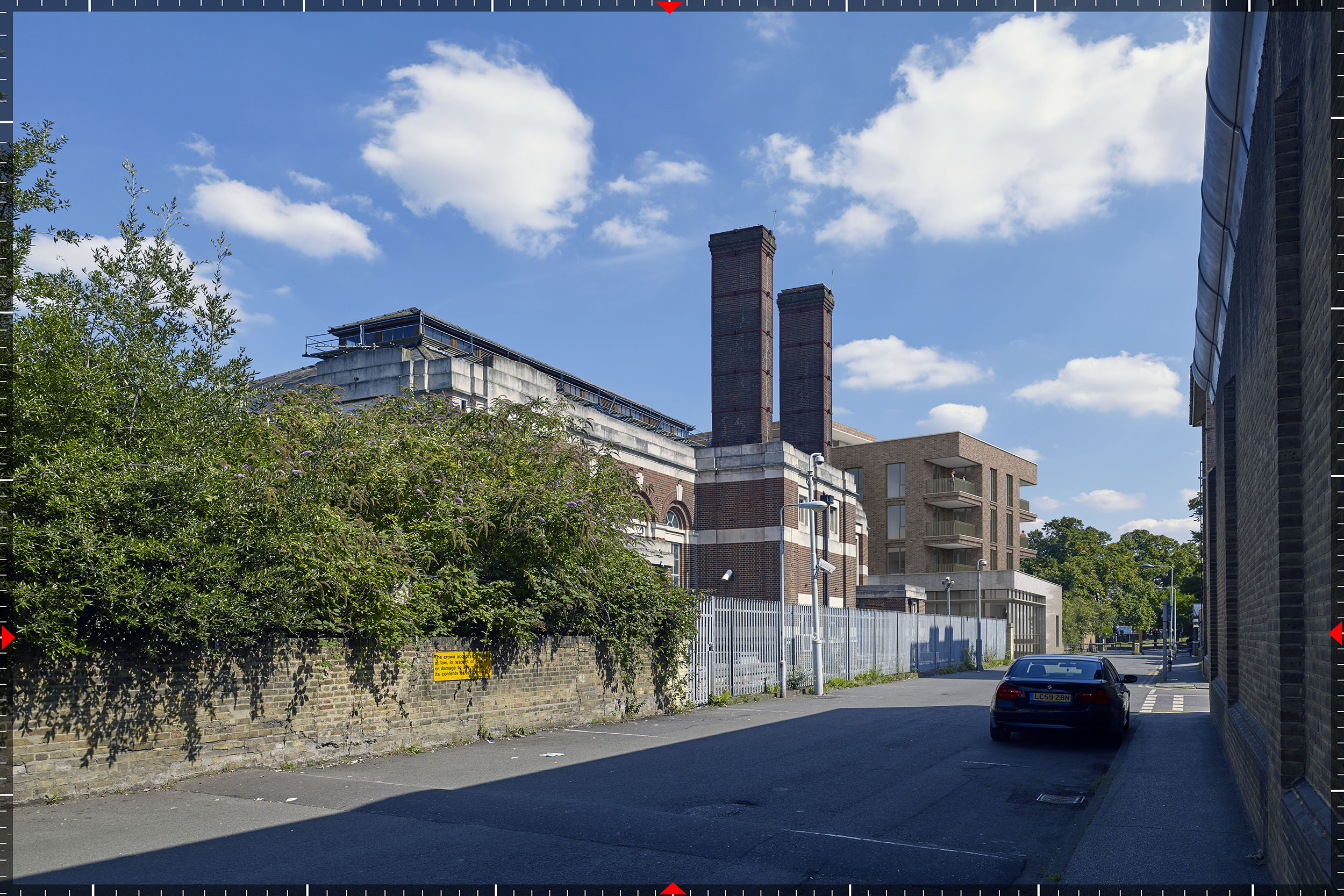
We have a strong track record delivering verified views for developments within conservation areas and heritage-sensitive contexts, where visual impact is critical to approval.

Professionally Insured
Eye-kon carries £4 million professional indemnity insurance, providing the level of protection required for major UK planning applications.
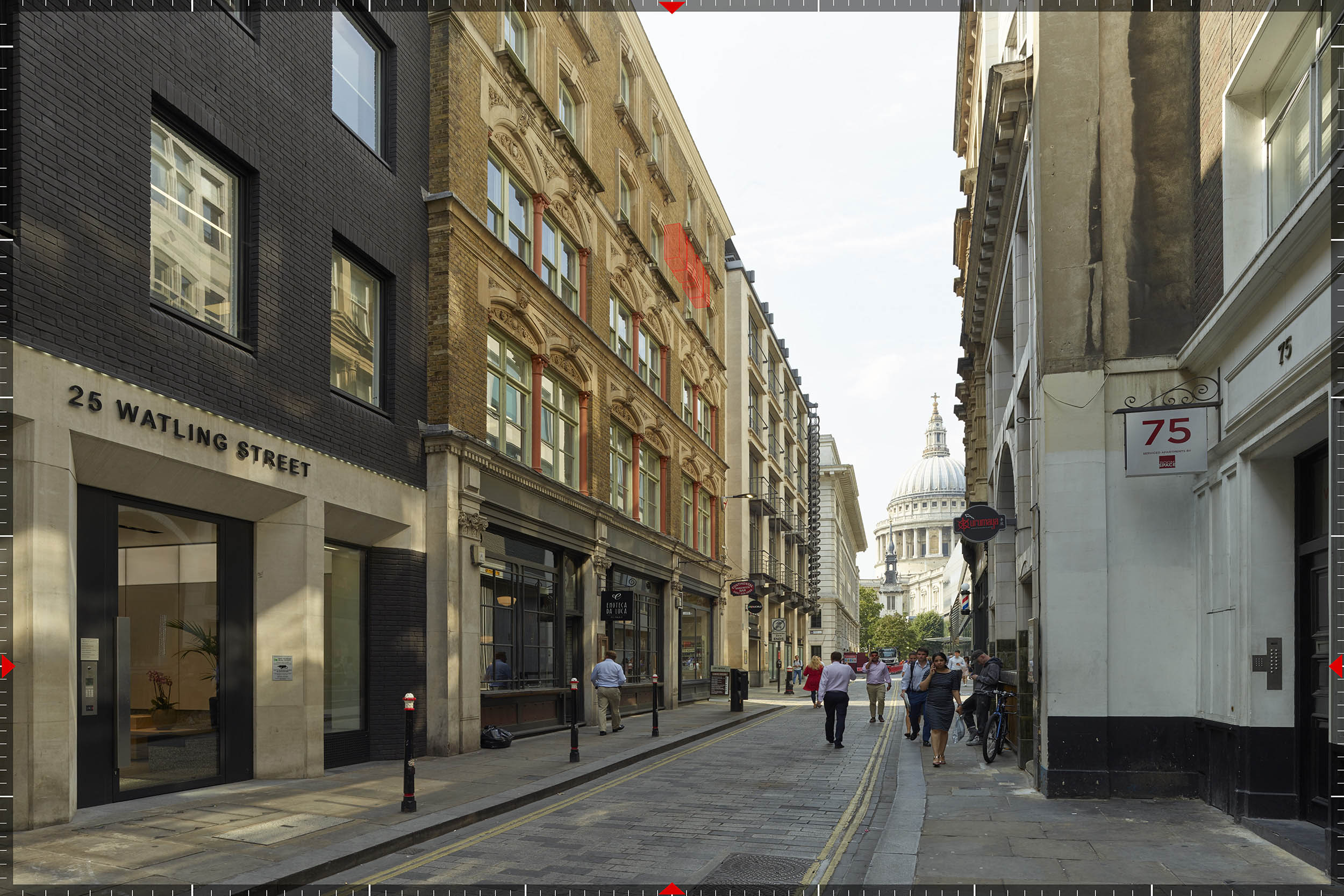
Levels of Representation (AVR Levels)
A technical guide to the four standard levels of Accurate Visual Representations used in planning applications.


Excerpts from our Methodology Reports
Transparency is fundamental to our architect-led process. Each project includes a comprehensive, auditable report documenting camera data and survey coordinates.
Our 6-Step Methodology for Producing Verified Views
We follow a rigorous technical workflow to ensure every image is auditable, survey-accurate, and built to withstand the scrutiny of the planning process.
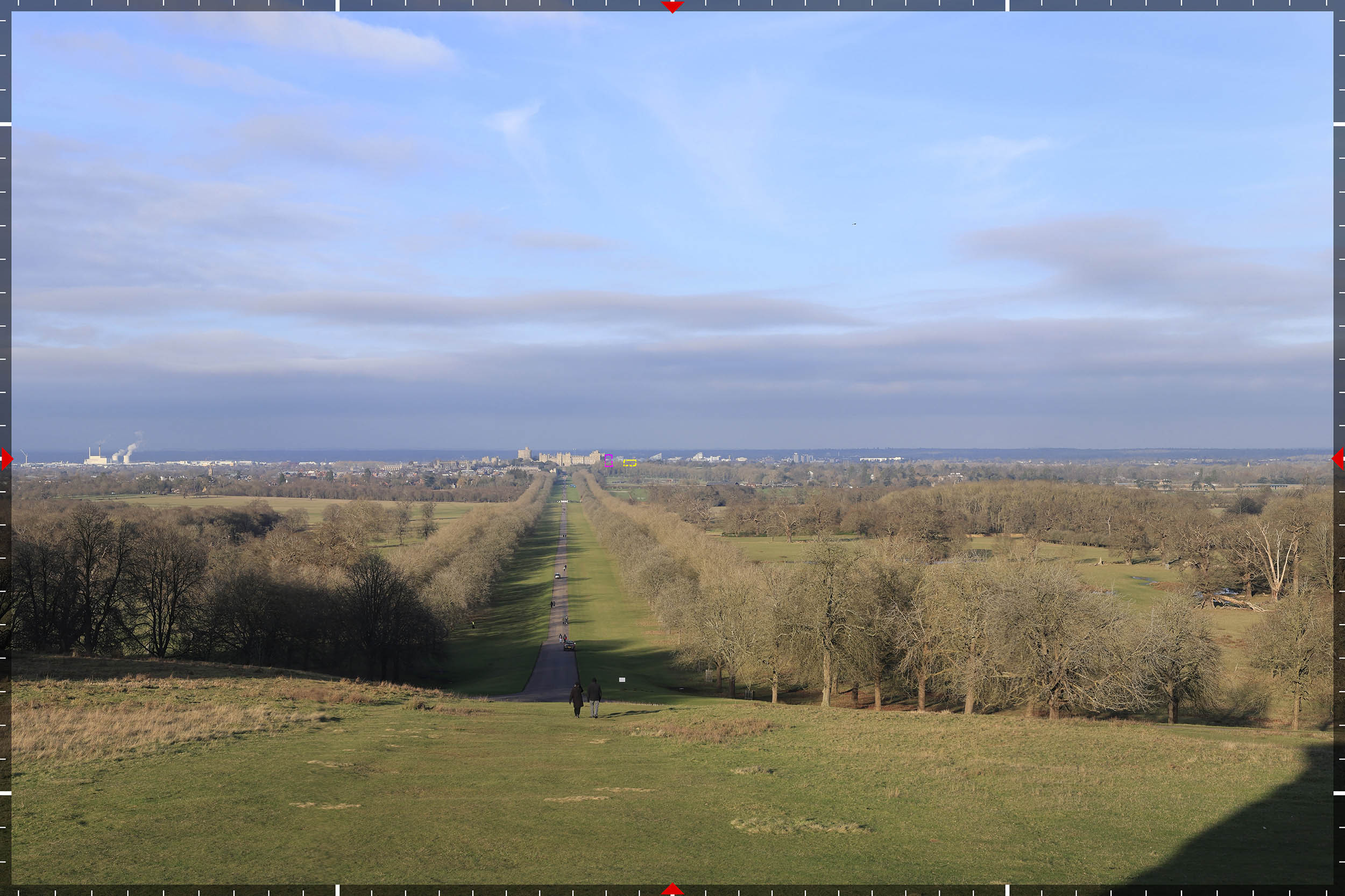
Identifying and agreeing key viewpoints with the LPA and consultants to ensure all sensitive angles are covered.
High-resolution capture using professional-grade optics, with full recording of lens height and tilt data.
On-site GPS recording of coordinates and site reference points for a millimeter-accurate 3D skeleton.
Mathematically aligning your architectural 3D model with survey data for the perfect real-world position.
Applying lighting and materials that mirror the base photo for a truly representative and accurate result.
Issuing a detailed methodology statement and technical appendix, making the process transparent and auditable.
Verified Views - Frequently Asked Questions
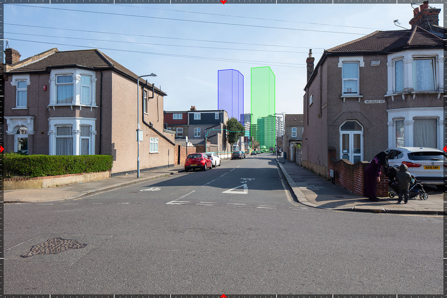
AVR0 - Massing wireline
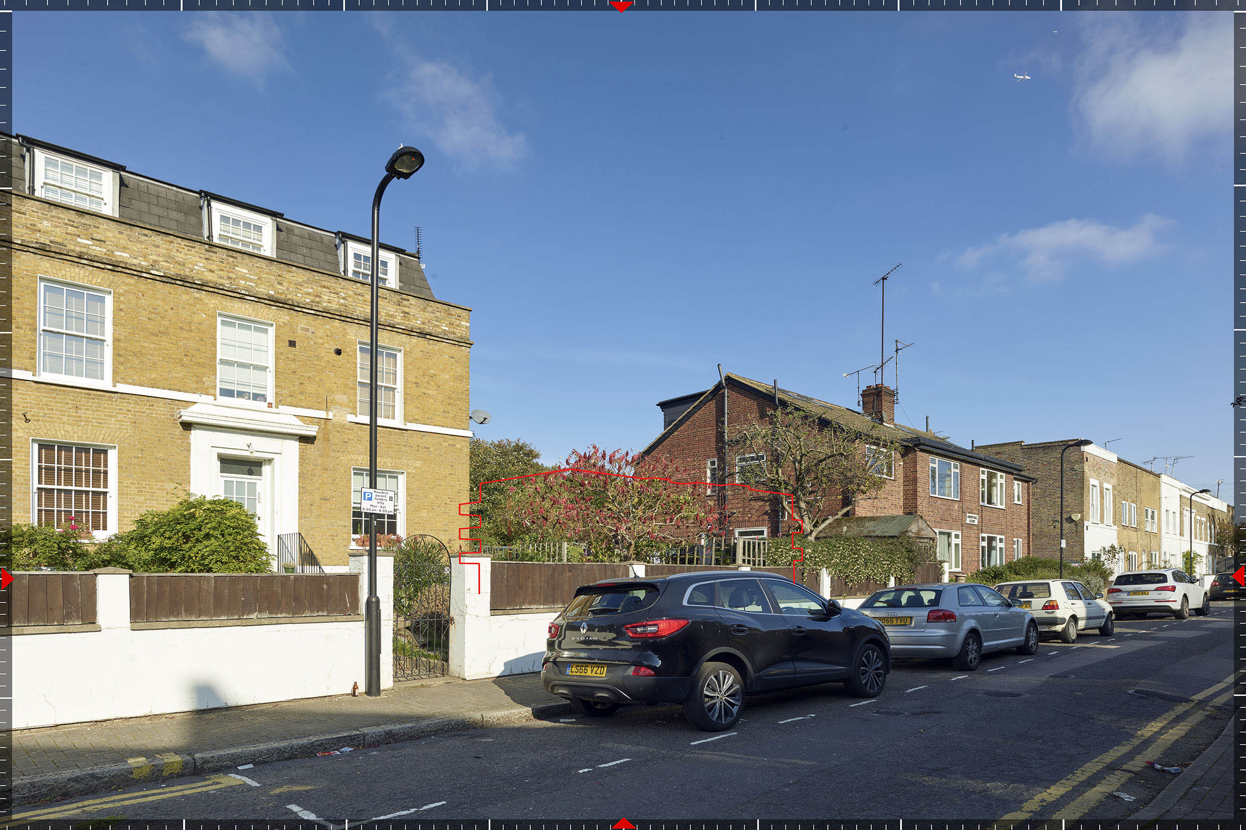
AVR1 - Survey-accurate wireline
AVR2 - Coloured or shaded model
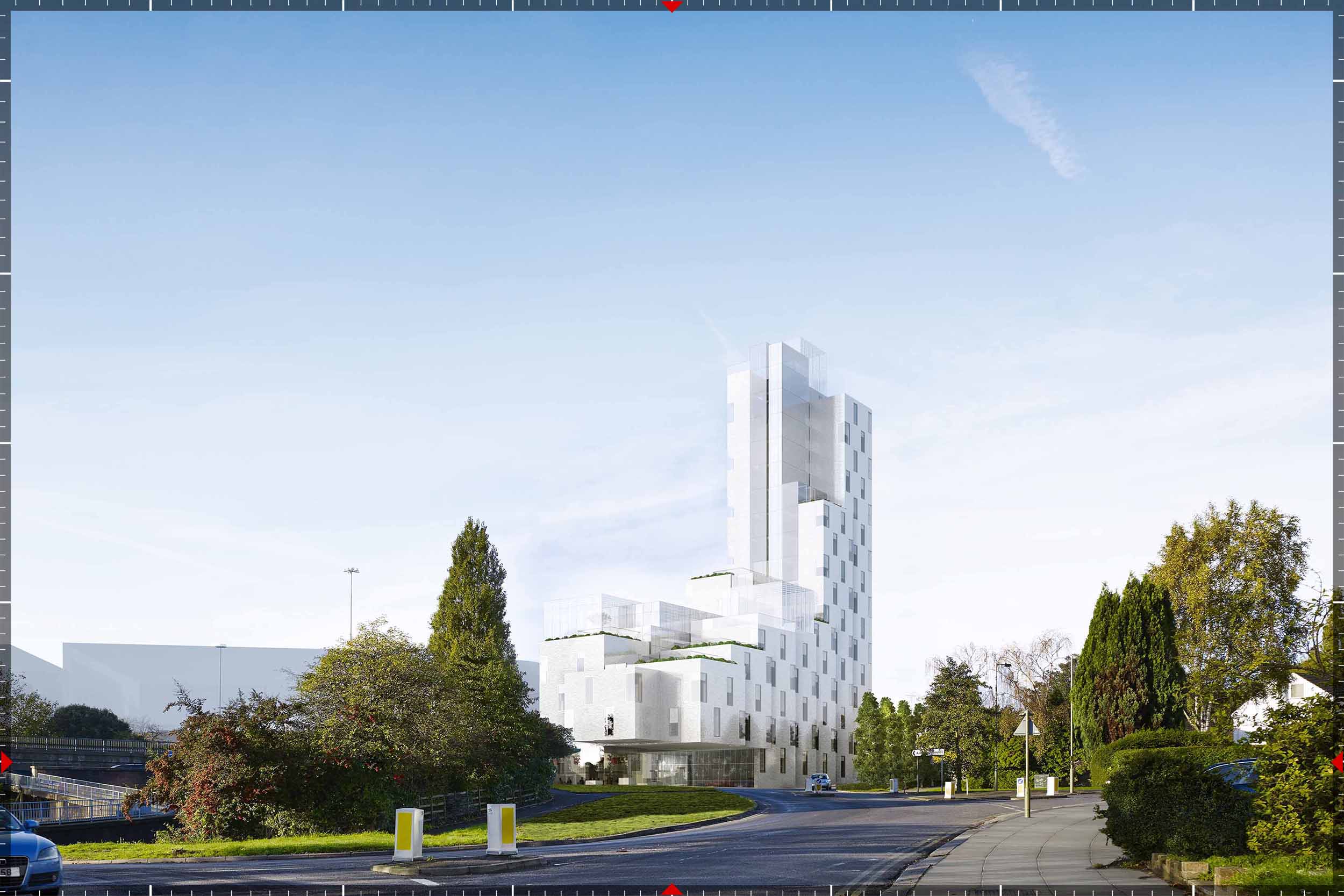
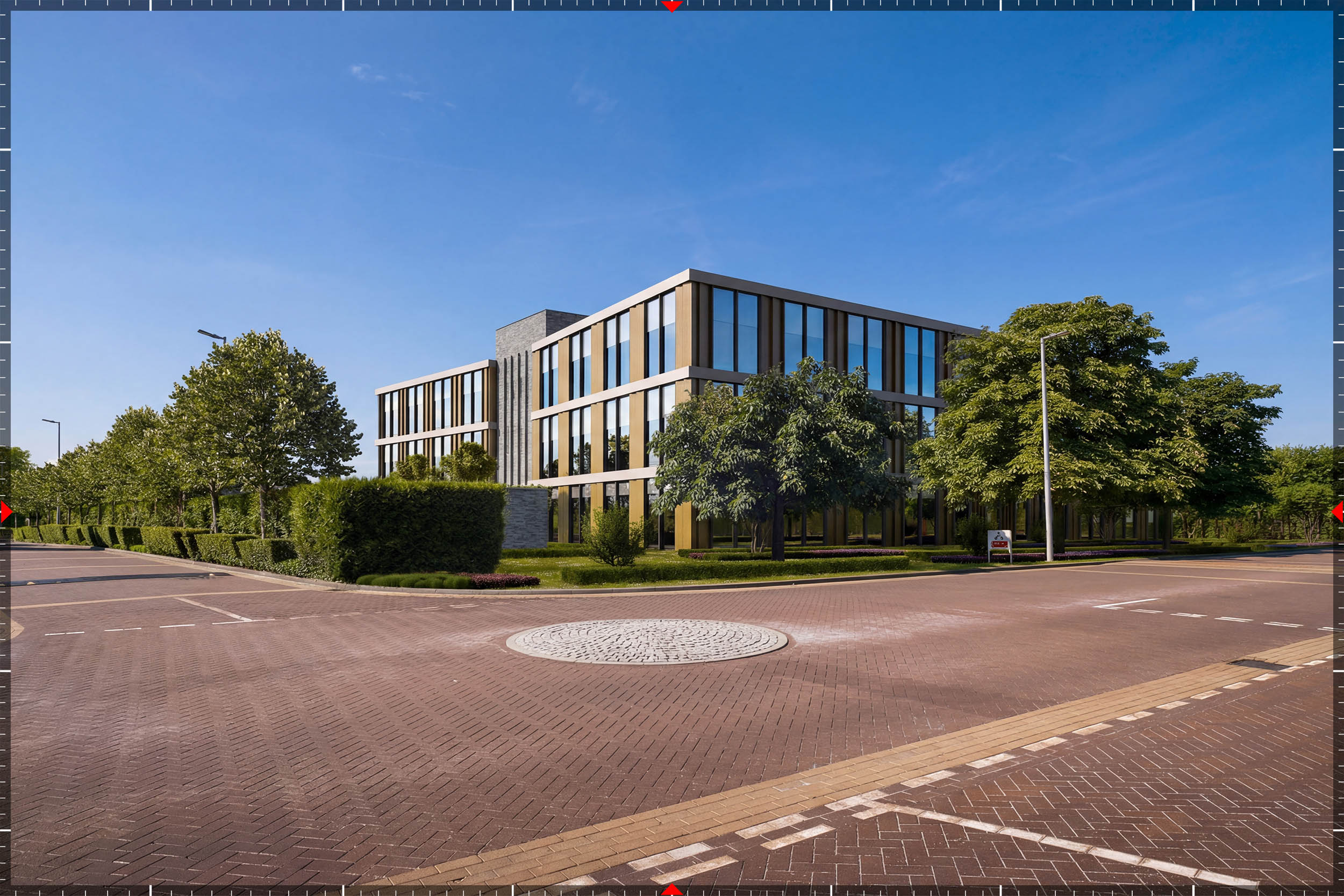
AVR3 - Fully rendered photomontage
The required level is typically agreed with the Local Planning Authority.